Isaias Expected To Intensify Monday, Then Move Up East Coast
Tyler Durden
Mon, 08/03/2020 – 08:50
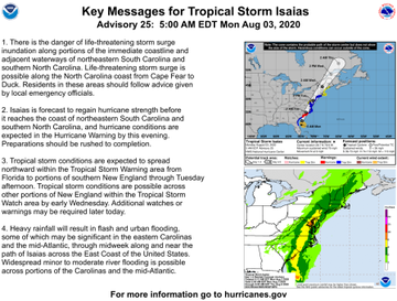
Tropical Storm Isaias is expected to become a hurricane as it nears the Carolinas on Monday evening, according to the National Hurricane Center (NHC).
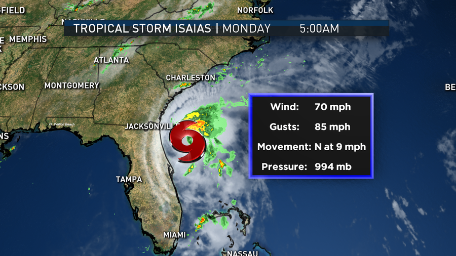
NHC’s latest update shows Isaias was approximately 115 miles east-southeast of Jacksonville, Florida, moving north at nine mph.
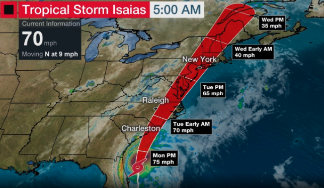
Isaias is expected to strengthen into a Category 1 hurricane on Monday, making landfall in South Carolina Monday night or early Tuesday.
Tropical storm warnings extend through Delaware, with watches seen as far as parts of coastal southern New England.
“Interests elsewhere along the northeast coast of the United States should monitor the progress of Isaias,” NHC said, adding that, “additional watches or warnings may be required later today.”
The storm is expected to track up the East Coast, arrive in the Mid-Atlantic area by Tuesday morning and New York City later in the day into Wednesday.
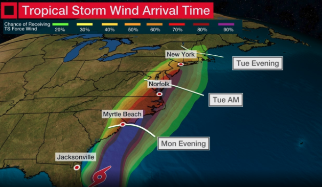
Tropical storm winds will be seen on coastal Georgia, South Carolina, and North Carolina on Monday, then in the Northeast Tuesday into Wednesday.
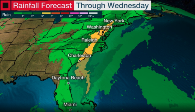
Isaias’ rainfall totals through Wednesday.
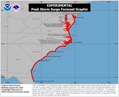
“Storm surge inundation of 3-5 ft above ground level is expected due to #Isaias between South Santee River, SC and Cape Fear, NC. 2-4 ft is expected for other parts of the NC and SC coasts, where Storm Surge Warnings and Watches are in effect,” NHC tweeted.
Isaias is expected to bring tropical storm conditions to the Baltimore–Washington metropolitan area on Tuesday.
Tropical Storm Isaias expected to bring heavy rain, flooding concerns to DC region Tuesday https://t.co/fJaxraYOpr #fox5weather #TSIsaias @MikeTFox5 @TuckerFox5 pic.twitter.com/JW4gkQbdNe
— FOX 5 DC (@fox5dc) August 3, 2020
New York City could see wind gusts up to 80 mph later on Tuesday evening.
#Isaias will cause thousands of power outages along the east coast… even New York City could see wind gusts of 80mph tomorrow! pic.twitter.com/PuLHIH3WUX
— Steve Knight (@KnightCBS21) August 3, 2020
As storm track models change, we will update readers through the day.
via ZeroHedge News https://ift.tt/2XnhxXm Tyler Durden
